Hiking the Bristol Hills Trail: Elmboise Road to Patch Road
For more area hikes and resources, see the trip summary: Hiking the Finger Lakes Trail
If I had a do-over, I wouldn’t do an out-and-back on this section of the Bristol Hills Trail. There’s just too darned much road walking. It didn’t bother me at first, hiking in the early morning quiet with cool breezes and fresh feet, but the return was a different story entirely. The heat set in, my feet became swollen and painful from pounding on hard surfaces, my sunny attitude flipped to the dark side, and I just wanted to FINISH already.
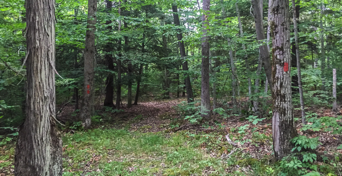
The hike started off with a bang as usual, winding up a steep hill in a series of tight switchbacks. Of course the trail was covered with leaves and I lost the path more than once until I realized I was zig-zagging right next to a wash that climbed straight up the hill. Yee-ha! I ditched the switchbacks about 2/3 of the way up and easily found the trail at the top. On the way back, I skipped the switchbacks altogether and followed the wash all the way down. Note that we’ve had a very dry summer; under normal conditions, the wash might be a river.
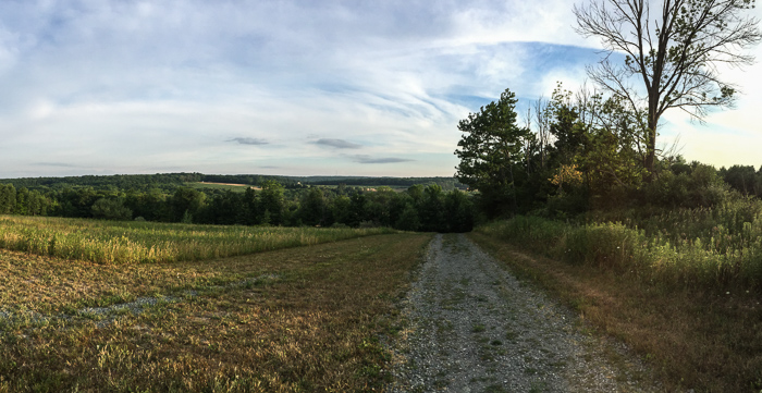
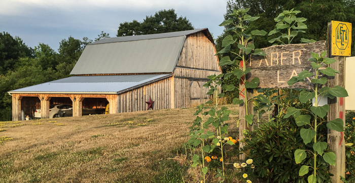
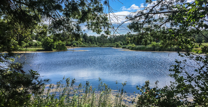
As I said, the hike was very pretty, much more pleasant than I thought it would be given the obvious road sections. The thing is, when the trail left the woods it usually followed an old dirt road, not a major tarmaced thoroughfare. I was delighted by lovely homes dotted amongst rolling hills, open meadows, private ponds, and far-reaching views.
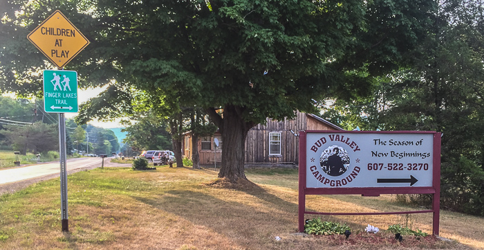
The area around the Bud Valley Campground (formerly Wagon Wheel Campground) was the least remote and followed tarmac road for about 0.4 miles. It still would have been a highlight had I remembered to bring money. Ugh! A cool drink sure would have hit the spot on the return trip. Lesson learned: always have cash. Duh.
Throughout my journey I startled horses, toads, and more than a few deer. Ohhhh, the deer! I was so mad at myself. Around mile 6, I was making good time through a forested section, enjoying dappled shade and a stiff breeze that rustled leaves overhead. The noise must have masked my footfalls since I came around a bend to find a doe walking obliviously towards me on the same path. I immediately froze, and on she came, nose down, eyes focused on the ground. How close would she have come? I don’t know! She got within 20 feet and I foolishly moved my hand thinking I could get a photo. The second I did so, her head whipped up, we gazed at each other for a few heartbeats, and she bounded away up the hill. Sigh. Another lesson learned. In the future, enjoy the moment and don’t try to snap a photo that couldn’t possibly capture the magic anyway!!
This seemed to be quite the day to drive lessons home. Here are a few more:
- Eat protein with breakfast. For some reason I only had coffee and a drumstick that morning. No, not a chicken drumstick…the ice cream cone (oy!). What can I say...it's summer and it sounded good. The sugar and caffeine combo left me feeling shaky and initially killed my pace. I packed quality snacks, though, and felt better once a protein bar kicked in.
- Bring a trail map. Blazes were few and far between along roads and I added mileage (and frustration) trudging back and forth searching for the trail. These training treks are low risk since I’m doing out-and-backs along relatively well-marked paths, but still. A trail map is key and I’ve let myself slip into poor habits.
- Take breaks! I tend to hike steadily even eating while walking, and I know my feet are suffering for it. Short breaks to take off boots and wiggle toes help ease that sore, bruised feeling on the soles of the feet. There’s only one downside to stopping: I might feel compelled to take a nap. Or is that an upside?
I also confirmed that I. hate. cobwebs. I can’t wait to get on the well-traveled Appalachian Trail. Though I’m an early riser, I might plan to sleep in (or have a second cup of coffee) so we’re not the first out. Let someone else knock the cobwebs down!
Here’s the mile-by-mile trail description for Elmboise Road (County Road 77) to Bud Valley Campground (formerly Wagon Wheel Campground): CNY Hiking’s Wagon Wheel Campground to Urbana State Forest
And here’s the mile-by-mile for the area north of Bud Valley Campground: CNY Hiking’s Italy Hill Forest to Wagon Wheel Campground
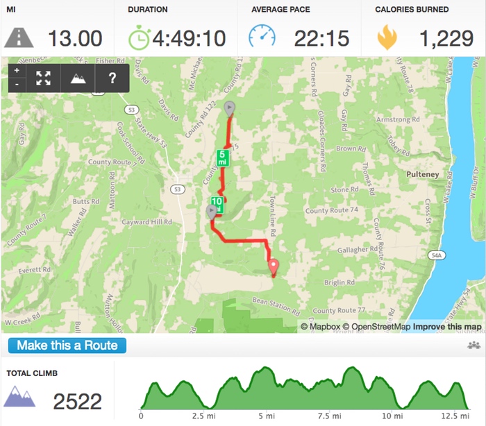
As you can see from the Runkeeper data, I didn’t quite make it to Patch Road. I was all set to hike a bit further but the trail suddenly descended rapidly. I stopped, looked down, and thought “Nope nope nope. Don’t wanna hike back up that hill.” It was a good call since I hit 13 miles (my goal for the day) just as I approached the car. Perfect.
One more training hike and then off to Virginia!
A couple extra shots:

