Hiking the Finger Lakes Trail: Route 54 to Longwell Road
For more area hikes and resources, see the trip summary: Hiking the Finger Lakes Trail
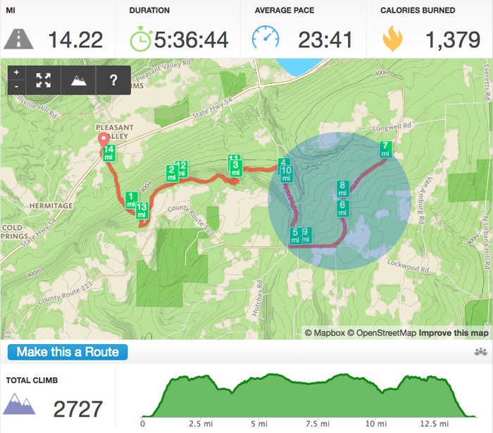
The CliffsNotes for this hike: Serene, well-tended forest trail for the first 4 miles; road hiking for the next 3 miles. Ugh. Of course the woods vs. road info is readily available by zooming in on the Finger Lakes Trail online interactive map, but did I do that prior to the hike? Of course not. I needed one more training hike, picked a starting spot, gave the map a cursory glance, and off I went.
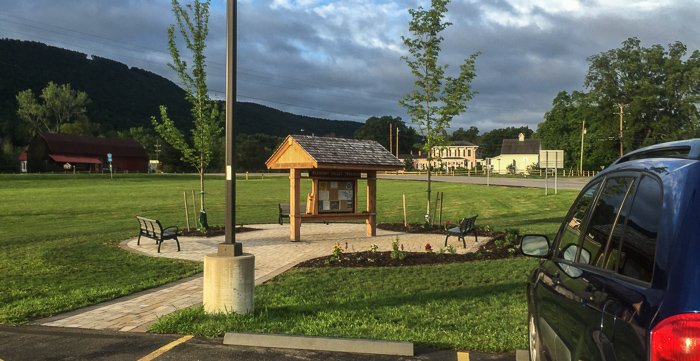
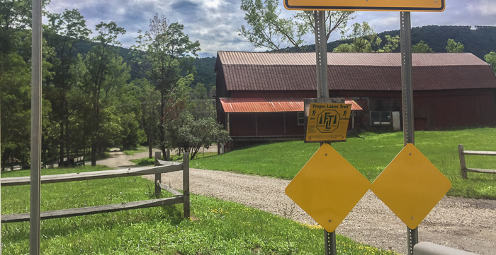
I parked at the Pleasant Valley Trailhead (next to the Urbana Town Court), crossed over Route 54, and briefly walked along a dirt road before turning into the woods and climbing steep switchbacks uphill. This mile of climbing was the most strenuous portion of the hike, though there were a couple more sets of switchbacks along the way.
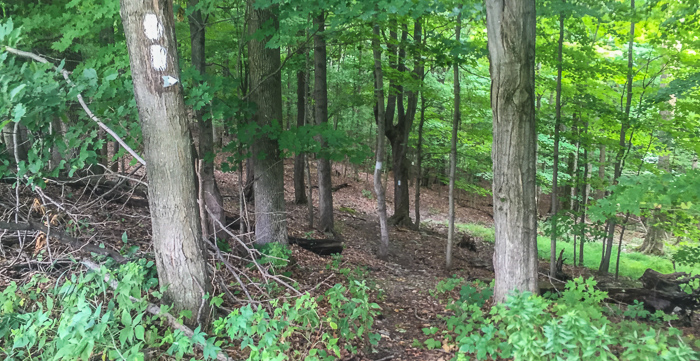
Overall, the wooded portion of the FLT was lovely; it was shady, well-marked, and so very quiet. I broke out of the woods just once in the first four miles, skirting a meadow for a few hundred feet. It’s obvious the area is popular with hunters; if the warning/closure signs weren’t enough of a clue, the tree-mounted Stealth Cam made it crystal clear. These cameras are used to spot game animals and apparently the odd hiker as well (!).
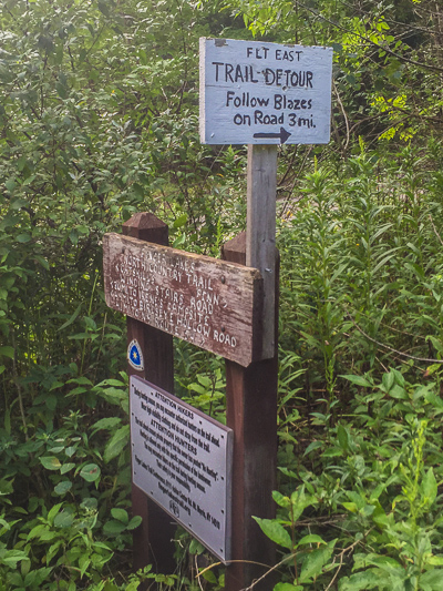
At mile 3.8, the escape-to-nature portion of my hike came to an abrupt end. Prior to popping out on Winding Stairs Road, a sign warned “FLT East Trail Detour, Follow Blazes on Road 3 mi.” Bummer. Even worse, I needed a 14-mile hike so had to hit 7 before turning back. That doubled my road hiking from 3.25 miles to 6.5. Bleech! On the plus side, it provided the perfect environment (read: hard tarmac) to determine how to ease foot soreness. More on that later.
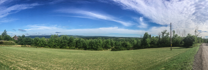
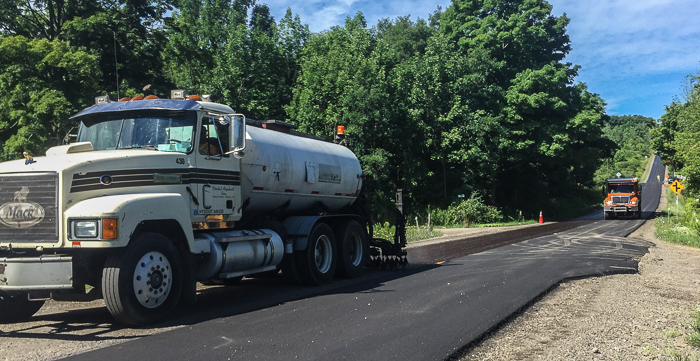
County Route 113 had one saving grace: it’s high enough that I had a couple nice views of the hills and valley beyond. I’m not sure that adequately counter-balanced the fact that road crews were actively repaving - just my luck!
The air was thick with the smell of fresh asphalt, and I had to regularly turn and brace when large dump trucks zipped past. Ah well, I’m sure folks are happy to have a beautiful new road.
I had two other small highlights:
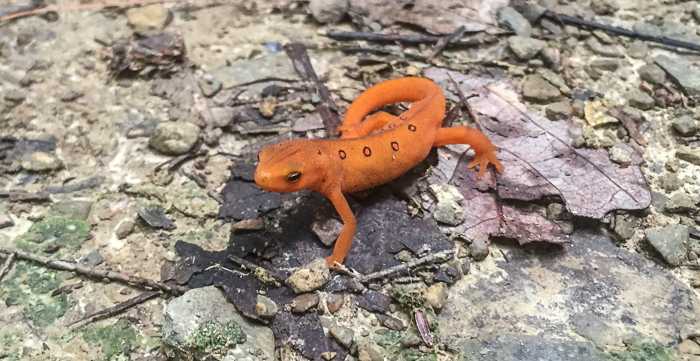
- An Eastern Red-Spotted Newt took a stand and tried to block the path, but I gathered my wits and used my cat-like agility to slip past.
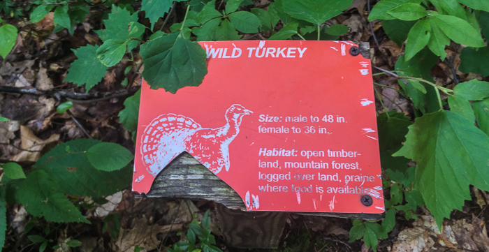
- I found a couple of identification signs just past the turnoff for the June Bug campsite. There were just two, one for Wild Turkey and another for Shag Bark Hickory, but I wish I’d seen more!
As I mentioned previously, this was my last training hike before an 8-day backpacking trip through Shenandoah National Park. I used this hike to conduct a few more tests:
- iPhone battery life: I’d like to use my iPhone for RunKeeper and photos, but I’m not sure the battery will be up to it. I’ll be able to charge at some point (the Appalachian Trail in the Shenandoahs is never far from civilization) but for RunKeeper I’d have to charge every day. Here’s the data: My phone started at 97% and was at 86% after 2 hours. I had the SIM card out, cellular data roaming off, and only used the phone for RunKeeper and photos (swiping up to limit use). At this point I put the SIM card back in briefly, made a phone call and sent a message, then popped the SIM back out; the battery dropped to 81%. By the end I’d had RunKeeper going for 5.5 hours and the battery was down to 54%; that’s about 8% loss per hour. So…RunKeeper probably has too much constant draw. I love the data, but without charging or an extra battery boost, it’s not feasible. I will still experiment with more ways to extend battery life when hiking - I want photos of the whole 8 days!
- Warning! Be careful when removing or re-inserting your phone’s SIM card. Spread out a bandana, coat, etc. and only work over that “safe” surface. In my experience, the little bugger is just itching to get away.
- Waterproof phone case: I bought Chris a JOTO waterproof case after Ireland rain proved to be too much for his last iPhone. After this outing, I love it for hiking! The case kept my phone completely dry, both from the weather and my sweaty hands. I sometimes hand-carried the phone/case combo, but mostly used the neck strap and tucked the case into my backpack hip belt for hands-free hiking. I worry about dampness inside and may drop a small a desiccant packet in the case with my phone. When processing photos I noticed a decline in picture quality; the images can look soft or washed out. I’ll clean the case, but may take the phone out to snap photos.
- Gaiters: I wore my brand new gaiters due to recent heavy rain, but they weren’t necessary; there was no mud on the trail and only a couple stretches with tall, wet grass. When I finally took the gaiters off, my pants beneath were clean but damp. What? Gaiters are supposed to keep me dry! Turns out, they trap a bunch of heat and I felt much cooler once they were off. I’m not sure the gaiters will make the cut for my hot August hike.
- Sore feet: I’ve come to the conclusion that swelling is the cause of that sore, bruised feeling that inevitably sets in. Online sources say the solution is to take frequent short breaks and after the last couple hikes, I think they’re right. This time I generally stopped every hour for at least 5 minutes and a couple times for 10 minutes. On the longer stops, I removed the boots, massaged my feet, and re-laced a bit looser. What a difference! Stopping is against my go-go nature, but I’ll need to adjust to survive seven consecutive 13+ mile days.
This week the Finger Lakes Trail in New York; next week the Appalachian Trail in Virginia. Yippeee!
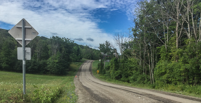
When road walking, trail markers may not be on trees as they are in the woods:
