Running Loops on the West Side of Keuka Lake
Update May 2016: Work crews are in the process of re-paving West Lake Road in the town of Pulteney. The new road will be nice I'm sure, but the work includes shoulder improvements. Looks like we'll have relatively flat, 2-3 foot wide shoulders on both sides. Good news for runners, walkers, cyclists, and gimpy knees!
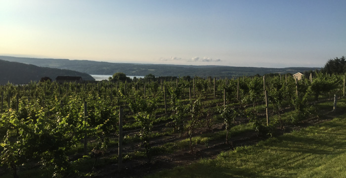
Keuka Lake is hands-down my favorite place to run. It has a nice mix of flat and hills, and the scenery is exceptional with ever-present views of the lake while running along the winding lake road or through pastoral vineyards and farmland. The very best part of each run, though, is the end. What a payoff! I can run from the lake road down the stairs to our cottage, kick off my running shoes, and jump into the crystal clear, cool waters of Keuka. It’s one of the best. things. ever.
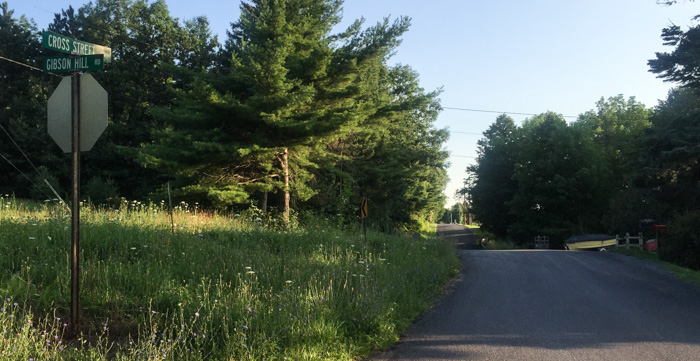
When I was younger I would run out-and-backs along the lake road, but as aches and pains have set in, the road’s sloping shoulder has become my nemesis. Turns out our cottage is in a pretty sweet location for alternate routes, and our runs follow the same pattern each time: we walk to Gibson Hill, walk up the hill to Cross Street, run Cross (or Pulteney Road) north to one of the many lake-connector roads, head down the hill, and finish out along West Lake Road.
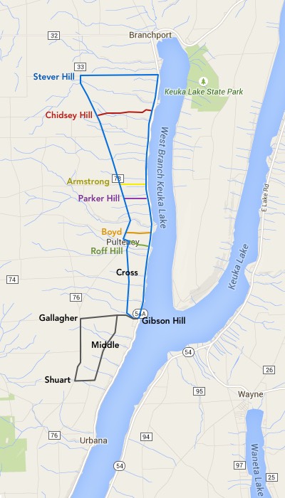
As you can see from the map, it’s a choose-your-own-adventure with loops from 4.5 miles up to 14.6 miles. Just this week, Chris and I started our run together but I dumped off on Roff Hill while Chris continued on to complete the Armstrong loop.
Decoding the map: The longest loop we’ve run here is the Stever Hill loop, marked in blue. The other routes (and their corresponding color on the map) include:
- Roff Hill (green): 4.5 miles
- Boyd (orange): 5.3 miles
- Parker Hill (purple): 7.0 miles
- Armstrong (yellow): 7.7 miles
- Chidsey Hill (red): 12.2 miles
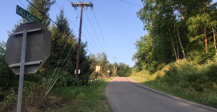
Mileage is calculated from the base of Gibson Hill Road. The separate route marked in black is 5.9 miles. This one also starts on Gibson Hill, but takes that up a bit further to Middle and then south to Shuart Rd. I’ve run this a few times in the past, but it’s not my favorite. The road is in poor condition and feels lonelier. Still, if you want more of a challenge, this will do it; Middle has more rolling hills and Shuart and Gallagher provide longer grinds uphill and downhill respectively.
Whichever route you take, there’s little traffic up on the hill. My knees appreciate this as I am free to run in the middle of the road where it’s flattest. Safety first! I run facing traffic, and I don’t run with headphones so I can easily hear approaching cars. You may wonder why we walk Gibson Hill. Have you seen that beast? It’s steep. Very steep. The walk provides a nice warm-up and stretch; we usually start running at the intersection with Cross.
Finally, I used gmap-pedometer to calculate the mileage of each loop. To start, just enter the zip code (in this case 14840), increase the zoom to 15, and click “go”. Many folks rave about MapMyRun, but I’ve never given it a try. We’d love to find more running routes around Keuka, though, so perhaps it’s time to check it out.


