Hiking the Bristol Hills Trail: Mitchellsville Road to the FLT
For more area hikes and resources, see the trip summary: Hiking the Finger Lakes Trail
C’mon kids, hike along with Julie and learn about colors. Did you know that:
- Pink can look like orange, and
- Orange stands out more than white?
Yup, I was color-challenged today and went off-track a couple times. I’ll get to those side trips in due time, but let’s start at the beginning.
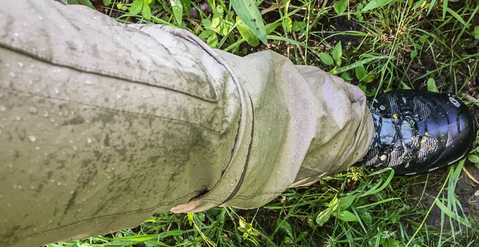
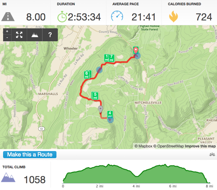
Wow! If my coffee didn’t wake me up, the first hill certainly did. The trail started climbing immediately south of Mitchellsville Road and kept on climbing steeply for about 0.3 miles before leveling off a bit. Until looking at my Runkeeper elevation profile afterwards, I didn’t realize I was still hiking gradually uphill for the next couple miles. Compared to the first hill, the trail felt pretty level to me! I was once again glad for long pants; a brief section of tall wet grasses left me splattered to mid-thigh.
This is only my fourth hike on the Bristol Hills Trail, but it’s my second favorite section right behind the Huckleberry Bog Loop. Why? Wide open spaces. The trail busts out of the woods four times, the first at Dave Lake. I briefly hugged the north shore of this tranquil little lake before ducking back into the trees. For once, I was happy to be doing an out-and-back since I’d get one more glimpse on the way home; the second time was a delight, the trail abuzz with dozens of dragonflies.
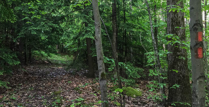
And now we’ve arrived at my first side trip: This section of the Bristol Hills Trail has numerous false trails marked with pink ribbons. I was lost in thought, somehow missed the turn plainly marked with a double-orange blaze, and instead marched straight ahead towards a pink ribbon in the distance. I swear the pink looked orange in the shadows, but still. I followed that trail for way too long before realizing I hadn’t seen an orange blaze in a while. The Bristol Hills Trail is very marked; if a blaze hasn’t appeared in 150 feet, you probably need to re-trace your steps.
The rest of my hike to the junction with the Finger Lakes Trail (FLT) was uneventful (read: I stayed on the correct trail!) and I relished sections where the path hugged trees but skirted open fields with long sight-lines.
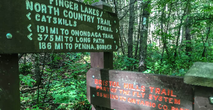
Incredibly, I was only on the FLT for a 1/4-mile and still managed to miss a blaze, hiking straight instead of turning to the left. I was surprised that I went astray and once back to the critical juncture, examined it thoroughly. There was no double blaze signifying the turn, just a single white blaze about 60 feet in after the turn. Is this a portent of things to come? I might be spoiled by the amazin’ blazin’ on the Bristol Hills Trail; gotta up my game on the FLT.
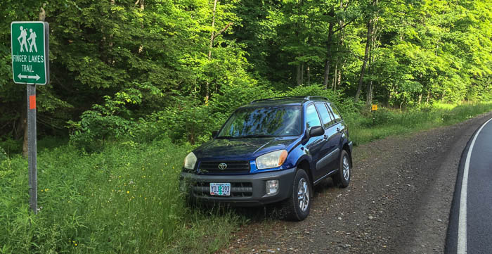
I hiked back the way I came and reached 8 miles by walking up Mitchellsville Road a piece at the end; kind of silly, but I wanted to hit my training mark. I still hope to someday hike longer segments without doubling back, but there’s at least one big positive about doing an out-and-back: I hit far fewer cobwebs on the return since I’d knocked most of them down on my first pass through. It’s shocking I hit any on the way back; spiders are industrious little fellows and rebuild quickly!
I’m debating where to hike next. It’ll either be the Mitchellsville Gorge section of the FLT, or part of the Bristol Hills Trail through the High Tor Wilderness Management area near Naples - excited for both!
Here's the mile-by-mile description of this section of the Bristol Hills Trail.
