Philmont 2012 - Day 1
Originally published September 3, 2012
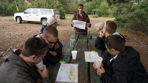
We did some final map review and training with ranger Nate in the welcome center while we awaited our bus. I had a near disaster as I mistakenly locked my camera away with my daypack in the crew locker and had to race back to the admin office, get my key, head to the locker, grab the camera, return the key, then come back to welcome center before our bus left about 1pm. We boarded the bus bound for the Zastrow Turnaround, departed by 1pm, and got off the bus about 1:30pm.
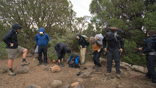
We were greeted by some heavy rain and some hail as we first put our packs on and received our live Red Roof Inn (latrine) demonstration from our rangers. After a brief false start in the wrong direction, our boys led us down to Zastrow for our first program area - geocaching and land navigation.
The boys opted for the land navigation course, which was a brief intro to competitive orienteering with a 1-2 mile orienteering course. We split into three teams after a great intro from a knowledgeable instructor. The adults hung together while the boys broke up into two teams.
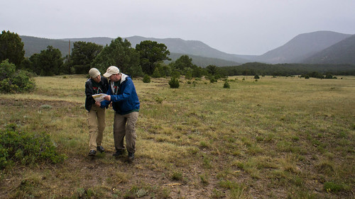
The course started off very easy and I coached Julie and Phil on some of the basics (thumbing the map, finding good handrails) and we got through the first 4-5 controls very quickly. Once we climbed back up to the open plain things got a bit more challenging and we caught up with the other two teams that had left before us. They were struggling to find a control that was in a shrub inside a dry ravine. We eventually all found it then raced to get through the final 3 or 4 controls.
In the end all three teams did very well. The adults had the second best time of the summer, missing out on the top spot by only 7 seconds. Derek and Jacob were close behind the adults.
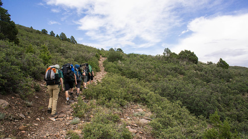
After a brief rest at Zastrow we doubled back up to the plain then climbed towards Urraca Mesa and our campsite (which is just below the mesa), Toothache Springs. This was a brisk climb and steep at times, but only a few short miles.
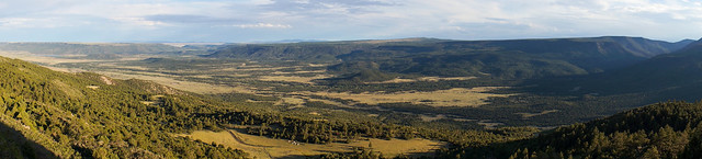
After setting up camp a few of us looked longingly up to Uracca Mesa and decided to climb and see what the view was like (and to see if there was a good view of the Tooth of Time). The view and light were spectacular -- if you look at the panorama above, you can see our tents towards the middle bottom of of the photo. Zastrow is in the Rayado River valley hidden in the trees down on the plain below us. It took only 20 minutes to climb from our campsite up to the top of the mesa.
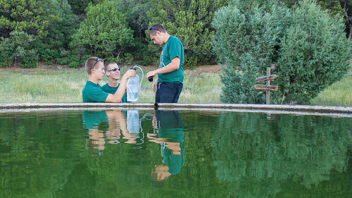
Our water source at Toothache Springs was a water buffalo that had so much sediment that the filter had a hard time cleaning it. Our chemical treatment worked better but the water didn't taste very good - probably the worst water we would have on the entire trip. We got back to camp at about 7:30pm and did dinner. Vegetable lasagna; apples and cinnamon for dessert.
Next up: Abreu and Carson Meadows.
This article is part of my Philmont 2012 series. You can find all articles here.