Hiking the Finger Lakes Trail: Mitchellsville Gorge
For more area hikes and resources, see the trip summary: Hiking the Finger Lakes Trail
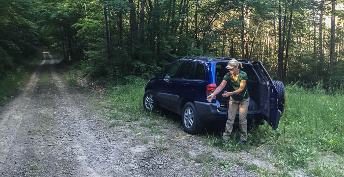
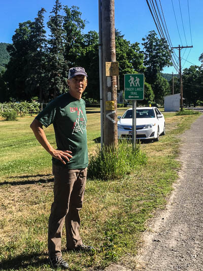
For this hike, Chris was the engine and I was the little red caboose struggling to keep up. Sure I had a 25-pound pack and Chris carried zip, but I would have brought up the rear regardless. Chris naturally hikes faster than I do and boy did we climb! Once again there was no easing into the hike; the trail rose steeply from Newton Road (our parking spot) and I was huffing and puffing within minutes.
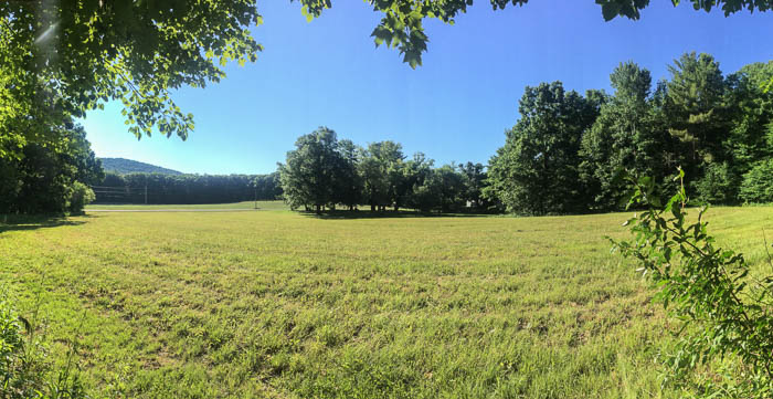
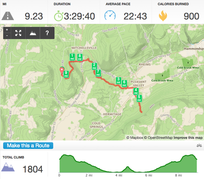
We hiked over 9 miles total, a 4.5-mile out-and-back along the Finger Lakes Trail (FLT) heading mostly east and south. Much of the trail meandered through forest, though we broke out a few times, first to skirt the edge of a tree-lined meadow and second to cut straight through the middle of fallow farmland.
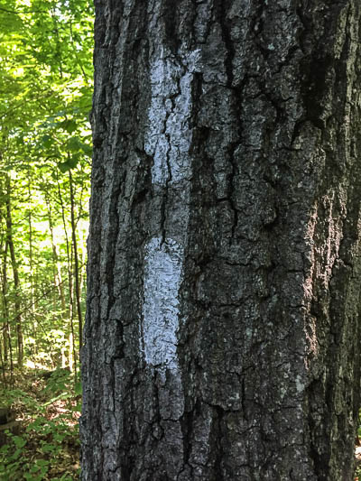
Side note: Contrary to the fears expressed in my last post, the FLT is well-marked and we had no issues following the trail.
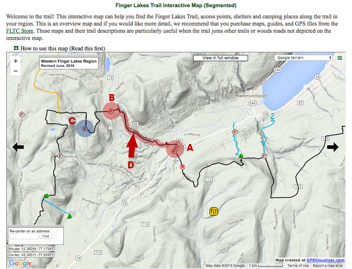
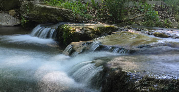
After crossing Mitchellsville Road, the trail soon hugged the edge of Mitchellsville Gorge. We caught glimpses of waterfalls and the creek below, but trees generally obscured the view. For adventurous souls, there’s a spit of land that juts over the gorge (Point D on the map below, at GPS coordinates 42°23’43“ N 77°16’48” W just down the hill from the Passport Program green mailbox). Be careful if you veer from the FLT to explore this narrow side trail - there’s a sheer drop on both sides!
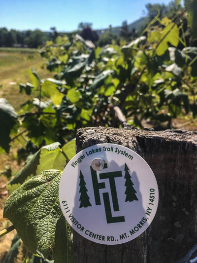
As the trail gradually dropped to meet the creek bed below, we entered the most picturesque segment of the hike strolling along a creek, waterfall and bridge before leaving the forest to walk through a vineyard (along marching rows of grapevines with itty-bitty grapes!).
Since I needed 9 miles total for the day (I’m training for an 8-day backpacking trip on the Appalachian Trail), we continued along Valley Road, across Route 54, and into the woods on the other side before turning around and retracing our steps.
To see the most scenic sections along the Mitchellsville Gorge, hike between Valley Road and Mitchellsville Road, Points A and B on the map above. It’s 2.5 miles one-way, and generally uphill heading west.
The FLT website highlights the Mitchellsville Gorge as a “Special Place” along the FLT. Edging along a 150-foot drop makes for an interesting hike, but two things bugged me throughout:
- It’s a GULLY not a gorge (at least in my family) ;)
- It’s just plain weird to hike alongside a gully instead of in it!
We love to hike gullies, starting at the bottom, splashing up the middle, flipping rocks and looking for salamanders until we reach an impassable waterfall and have to turn back. I can see the future, and we shall return to hike in Mitchellsville Gorge!
Here's the mile-by-mile description for the Mitchellsville Gorge section of the FLT ending at Route 54.
And here's the mile-by-mile heading southeast of Route 54.
