Hiking the Finger Lakes Trail: Sand Pit Road to Newton Road
For more area hikes and resources, see the trip summary: Hiking the Finger Lakes Trail
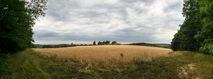
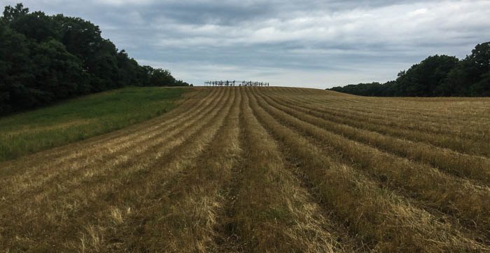
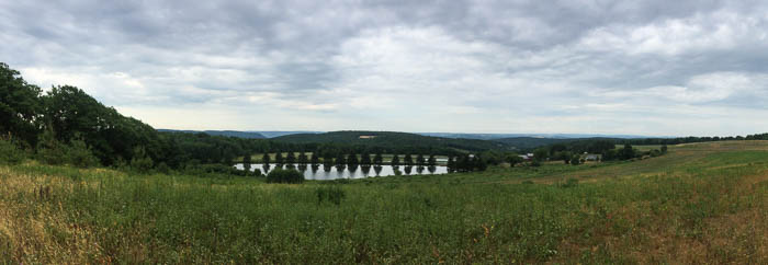
Admittedly I have little experience hiking in this area with just seven treks under my belt, but this is my new favorite, #1, top of the list. The views! This is the hike to take to appreciate the rich farmland and glacially carved valleys of the Finger Lakes region.
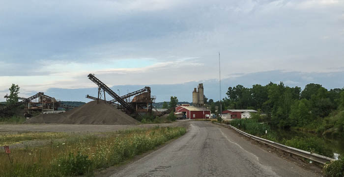
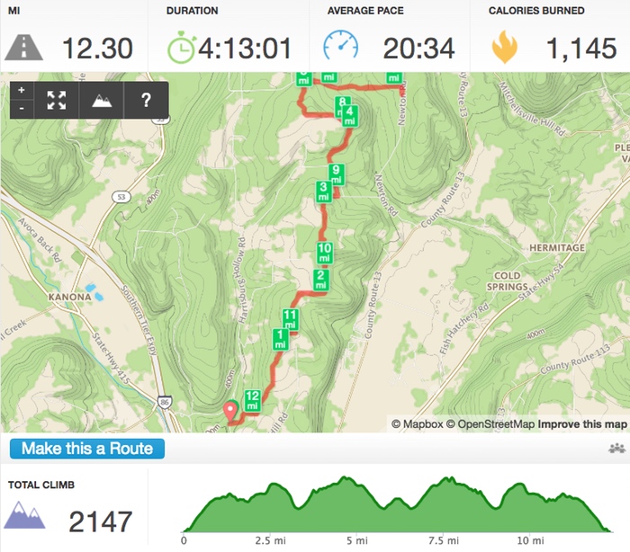
My plan was to hike an out-and-back from the Sand Pit Road parking to the Newton Road parking (as identified on the Finger Lakes Trail interactive map) for a distance of about 5.9 miles one way. Runkeeper indicated 6 miles at the junction with Newton Road, still an 1/4 mile shy of the parking spot, so either the CNY Hiking guide’s mileage is off or more likely, I rack up a fair amount of steps looking for blazes (!).
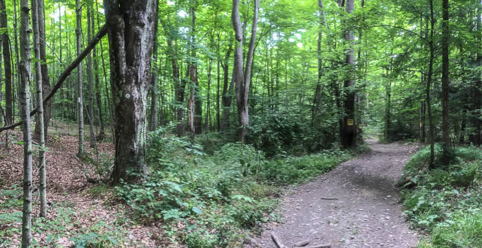
The trail starts off strong, with an uphill section through the woods that gives way to views within the first mile. I took so many panoramic shots I can’t possibly share them all, but suffice it to say, this trail keeps one’s attention with “attractions” seemingly around each new bend.
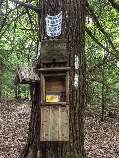
Surprisingly, I stopped to sign the FLT trail register. Bugs have kept me from signing on other hikes, descending in force each time I slowed. Flying nuisances largely left me alone on this outing, perhaps due to timing, or maybe my DEET + Permethrin combo actually worked (DEET for the exposed skin, and a Permethrin coating on pants, shirt, backpack, and hat).
There’s a 0.4 mile stretch of road-walking along Barrett/Brewer Road. If you’d like a short hike to reach the best view, park at the Robbins Road parking spot on Brewer Road and hike north (no, I don’t know why the FLT calls it Robbins Road). Warning! Beware the dogs. I had a close encounter with a large dog while walking along this road. The owner called him off stating he was harmless and looking for attention, but the dog was loud and aggressive and sure gave me an adrenaline rush.
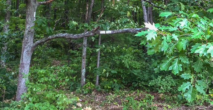
Once the trail ducks into the woods off Brewer Road there’s about a half-mile of wooded walk before breaking out into a wide field. I loved this section even though I killed 5 minutes looking for blazes. Don’t be confused by the double blaze at one corner of the field - you don’t turn into the woods, but rather continue along the margin.
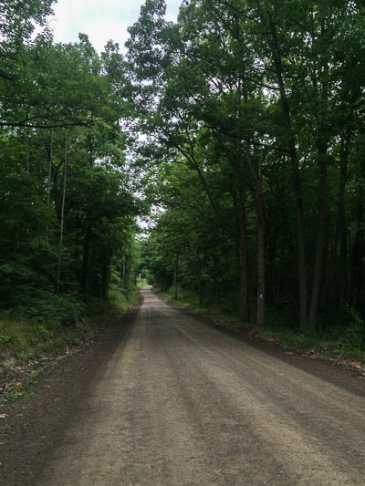
The trail eventually follows an old road leading to the best view of the hike, the Pucker Bush Overlook. It was here that I startled more than a few deer out of tall grasses, bounding away for tree cover. It’s only about 1.5 miles from the Robbins Road parking area to this overlook; the views are well worth a 3-mile round trip hike.
I exclaimed with delight at the junction of the FLT and the Bristol Hills trail, familiar territory from a previous hike. Since this was old ground, I strode forth boldly, confident I wouldn’t miss the crucial left turn this time around. Nope! Still missed it, though not by much. A double blaze would be very helpful here, but as always on the FLT, if you haven’t seen a blaze within 150 feet, turn around!
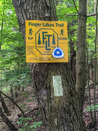
As a side note, FLT signs in this area often have a North Country Trail (NCT) symbol attached. When completed, the NCT will span 4600 miles from New York to North Dakota. In New York, the normally blue-blazed NCT follows the white-blazed FLT from the Allegheny Forest in the southwest, to the Onondaga Trail in the eastern Finger Lakes region.
Now where to hike next? I just met a gentleman with the Friends of Hammondsport Area Trails and Parks. Perhaps I’ll bend his ear…
The mile-by-mile trail description for this hike: CNY Hiking Bath Area
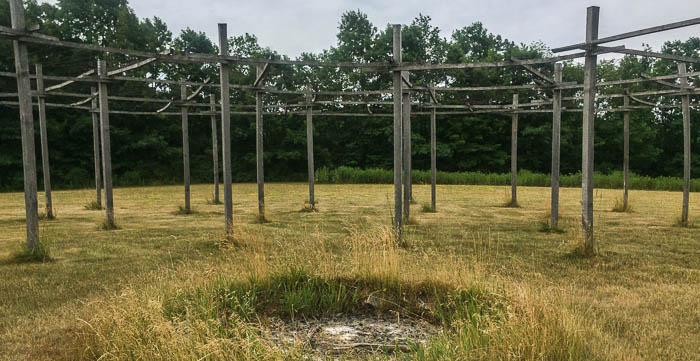
Bonus close-up shot of the structure that has me stumped:
