The Other Las Vegas Part 4: Lone Mountain, Red Rock Canyon, Historic Railroad Hiking Trail, and Valley of Fire
As soon as we set dates for our week-long trip to Las Vegas, I joined the VegasHikers MeetUp group. Holy cow, these people are active! My inbox was inundated with hiking opportunities. Of course I couldn’t go along (still in Oregon), but I never really intended to. It would be fun, but their trips fill up fast and Chris and I just wanted to figure out popular hikes. Between VegasHikers, recommendations from friends and family, and a little internet searching, we settled on three hikes to three different scenic areas surrounding Las Vegas; a fourth run/hike fell into our laps once we were in town. We loved them all!
I won’t go into much hiking detail in the write-ups below, but instead stick to our impressions and lessons learned. Pictures speak a thousand words (BirdandHike.com has a kajillion photos for every hike), plus I’ll link to websites with detailed trail descriptions and maps.
If you hike in Vegas, go prepared. The desert is a harsh and unforgiving environment that demands respect. Wear good shoes with traction (for rock scrambling), sunscreen, a hat, and sunglasses. Bring a backpack loaded with water, snacks, and other essentials like a compass, map, pocketknife, bandana, extra layer, emergency whistle, headlamp, and lighter/matches. And bring extra water in your car - it’s the desert!
Lone Mountain
My mom and step-dad live on the northwest side of town and pointed out Lone Mountain as we drove by. It was so close to the house, Chris and I immediately agreed that a morning run/hike was in order.
We parked along Alexander Road near Hualapai, right across from Majestic Softball Park and set out on a slow jog along the wide flat path that encircles Lone Mountain. We didn’t do much advance research, so missed the trail for the “Regular Route” up to the top and instead veered off on the East Buttress Route. I hesitate to call it a trail since there was rarely a well-defined path, but enough of one that we felt confident about which way to go. Up. To the top. I guess we didn’t need much of a trail after all!
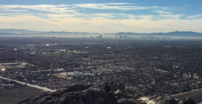
The hike up was steep and strenuous and had me gasping for breath. I hope it was the elevation and not an ominous indication of my fitness level. We had breathtaking 360-degree views from the top, and enjoyed chatting briefly with a police officer making much better time than we (!). After a quick rest, we hiked down and completed the jogging loop back to our car.
RunKeeper paused unexpectedly so we didn’t capture exact distances, but the perimeter run was about 3.5 miles, and the East Buttress hike to the summit added another mile.
Website: BirdandHike.com offers detailed explanations of multiple routes to the top.
Location: In northwest Las Vegas near the intersection of W. Alexander Rd. and N. Hualapai Way. GPS: 36.232467, –115.313095
Hours: Don’t know, but I assume dawn to dusk
Cost: Free
Mileage: About 4.5 miles including the full walking path around the base plus a trip to the summit.
Red Rock Canyon
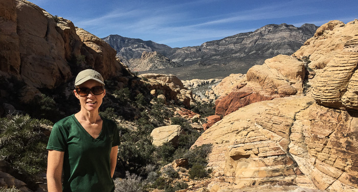
Red Rock Canyon was Nevada’s first National Conservation Area. Located an easy 20 miles west of Las Vegas, it's visited by over 2 million people every year. What’s to see? You guessed it. Red rocks. Beautiful red rocks in interesting formations, begging to be climbed!
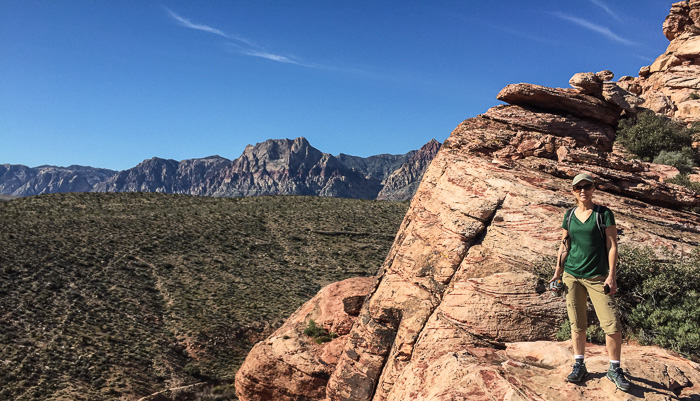
Thanks to VegasHikers, we planned to hike the 6-mile Calico Hills Loop, a popular loop with six different trailheads. We parked at Red Spring Park to avoid the $7 entrance fee on Scenic Loop Drive. We arrived at the parking area by 10am and hiked until after 2pm, longer than planned since we got a little more than we bargained for! We roughly followed the Calico Hills Loop but accidentally added the the Calico Tanks Trail out-and-back adding an extra 1.6 miles. Oops. Thankfully we had plenty of food and water to keep us going, and the panoramic view from above the Tank was the best of the day.
Lesson learned: We should have consulted maps and photos much more carefully, looking for key landmarks to guide the way. After hiking in the desert a few times, I feel pretty bad about making fun of Ireland’s penchant for calling a vast open pasture a “trail”. Red Rocks routinely looked at me and said “Hey you’re a big girl, find your own way through this craggy, rocky canyon”. Calico Hills is well-traveled so we were never in danger, but I’ll be much more careful on our next desert hike.
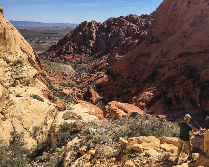
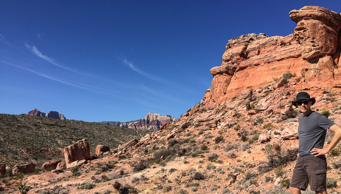
The hike delivered a bit of everything: well-marked trails with vistas of the larger Red Rock area, easy rock scrambling, lush shady washes dotted with vegetation, and harder scrambling as we picked our way down through a canyon. Crowds were dense near each trailhead parking area and thinned in between. The Calico Tanks Trail had a steady stream of people hiking both directions, forcing us to stop and wait many times. We found the most solitude between the Calico Tanks Trail and the Sandstone Road Trailhead, understandable since it was the most remote and difficult part of the hike.
We didn’t have time for the visitor center or the 13-mile scenic drive. Next time! Although given the insane crowds and lines of cars, we’ll get an early start to beat the rush.
Website: In general: redrockcanyonlv.org. Hiking: BirdandHike guide to the Calico Hills Loop; BirdandHike guide to the Calico Tanks Trail.
Location: 20 miles west of Las Vegas. Map link to the visitor center. Map link to Red Spring Park, where we parked and started our hike.
Hours: Generally dawn to dusk. The scenic driving loop hours vary throughout the year, but open at 6am and close anywhere from 5pm to 8pm daily. The visitor center is open 8am–4:30pm daily.
Cost: Free if parking at Red Spring Park. $7 per car if entering the Red Rock Conservation Area on Scenic Loop Drive.
Mileage: About 6.2 miles for the Calico Hills Loop. Add another 1.6 miles if you add an out-and-back to Calico Tanks.
Historic Railroad Hiking Trail
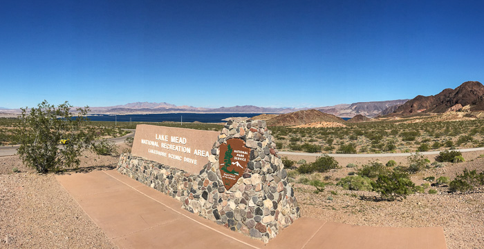
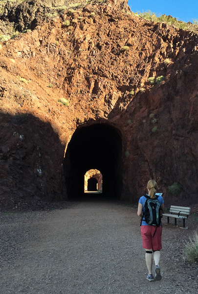
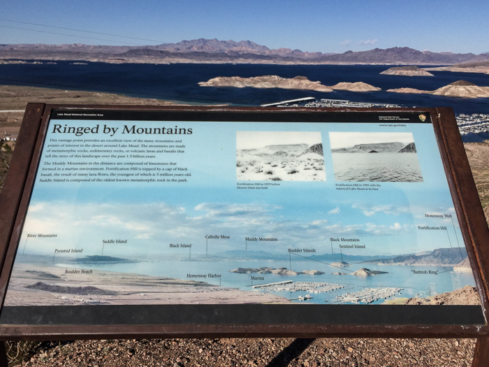
This historic trail was part of the railway system that transported equipment and materials to Hoover Dam, one of the most monumental construction projects in the history of the United States. The railroad was built in 1931 and used heavily until the dam was completed in 1935. It was last used in 1961 and finally designated as a National Historic Trail in 2015.
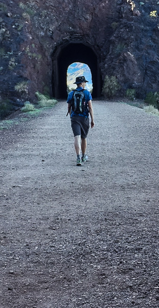
Hoover Dam was a big project requiring big equipment, so tunnels are necessarily…big. If you walk at least 2.2 miles in, you’ll travel through all five 25-foot diameter tunnels. Very cool! Information placards are posted along the way, and a shaded rest area with bathroom is situated about 2.3 miles in.
You can hike all the way to the dam and Memorial Bridge (which has a pedestrian walkway with dramatic views of the dam), but we turned around at the rest area. A gentleman told us that the trail to the dam is fairly industrial and not very scenic, but haven’t seen it for ourselves. Here’s a map of the entire trail.
This is a very easy trail with no discernible grade. Views of Lake Mead are ever-present, and in the afternoon, the sun dips behind an adjacent hill shading large portions of the trail. You can hike the trail on its own of course, but we made a day of it and also explored historic Boulder City, checked for bighorn sheep in Hemenway Park (they come down to munch on grass), and toured Hoover Dam. Fun, educational, and exhausting - a perfect day!
Website: Official National Park Service site. BirdandHike guide to the Railroad Tunnels Trail.
Location: 30 miles southeast of Las Vegas. GPS: 36.009551, –114.797097
Hours: Don’t know, but I assume dawn to dusk
Cost: Free
Mileage: About 4.4 miles (total for the out and back) to hit all 5 tunnels. Add another 3.5 miles if going all the way to Hoover Dam (so about 8 miles total round trip).
Valley of Fire
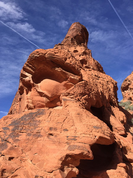
OH MY GOODNESS. There I go with the all-caps again, but if you think Red Rock Canyon is beautiful, just wait ’til you see Valley of Fire!
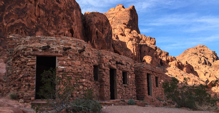
Valley of Fire was dedicated in 1935 and is Nevada’s oldest and largest state park. After paying the $10 entrance fee, we drove straight to the little visitor center to get acclimated and make our plan of attack. I love the throwback look of the center; Chris said it reminded him of an old Shoney’s, I said Denny’s, but looking at Google images I think it’s more like a Hardee’s. Regardless, displays explained the area’s early inhabitants, unique geology, vegetation, and wildlife. For the first time in a long time, I didn’t care for the overview movie, but they more than made up for it with cages of live critters including a gopher snake, chuckwalla, tarantula, and scorpion.
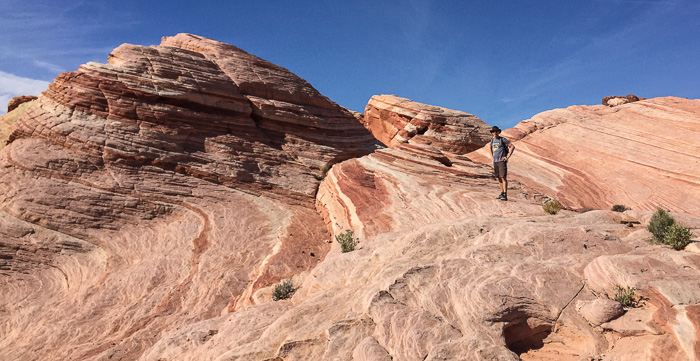
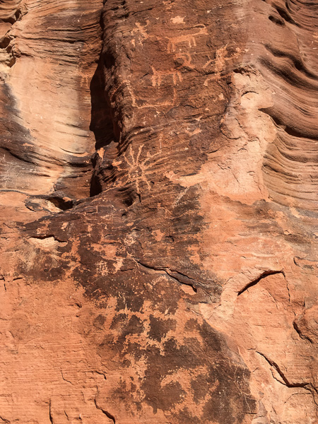
As you can see from this trail map, the park has at least a dozen marked scenic attractions, and a half-dozen with hiking trails about a mile or less. From the visitor center we drove north to hike the White Domes Loop and the Fire Wave trail (it's newer so not marked on the online map), drove out Fire Canyon Road, and then hiked Mouse’s Tank to see the petroglyphs (yes petroglyphs!).
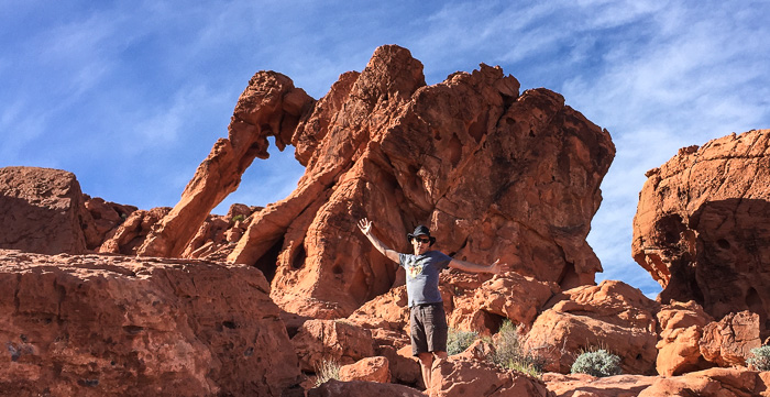
From there, we drove to the east to see Elephant Rock, petrified logs, and the old cabins. Before calling it a day, we swung west to drive by Arch Rock, and finished out with a short stair climb to see the petroglyphs on Atlatl Rock. I think we hiked around 4 miles total. Note that most trails had sections of deep sand which require more energy than firm ground.
Even if you’re not into hiking, get out to Valley of Fire! The drive alone reveals colors, patterns and formations you won’t soon forget. Scenic attractions are easily accessible and can often be seen right from the road. We lamented our timing though; the bright mid-day sun made for harsh photos.
On the drive out, we happened upon 96.3 on the car radio and they played a string of classic rock hits that transported me to my high school days. When I needed to clear my head and get away from it all, I’d hop in the car, crank up the radio, and drive to the state line. I’m not sure my mom knows that though, so I’m expecting a call from her in 3…2…1…
Website: Official State Park website.
Location: 50 miles northeast of Las Vegas. 29450 Valley of Fire Road, Moapa Valley, NV 89040
Hours: The visitor center is open 8:30am–4:30pm daily. The rest of the park is open sunrise to sunset.
Cost: Entrance fee of $10 per vehicle.
Mileage: Variable depending on how many sites you visit. Most sightseeing trails range from a few hundred feet to a couple miles.
Note: For more Vegas articles, refer to the trip summary for the The Other Las Vegas.

